Think this walk looks hard? Why not sponsor me here. I am raising money for my old scout group and donations can be made here.
MistYesterday was a long day and when we first arrived in Middleton I was a little apprehensive that it might be the last day. It was such a hot day I ran out of water and with it being over twenty miles when the first ten were over the usual ‘only six miles to go’ was replaced with an. ‘Eeek we are not even half way!’
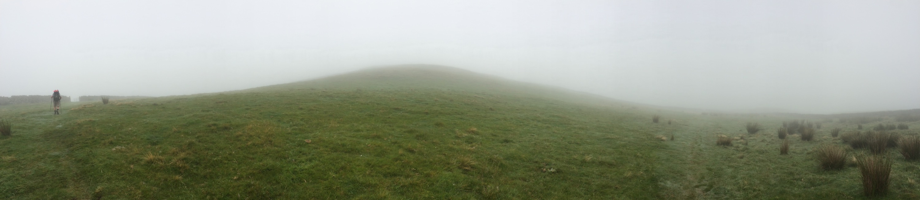
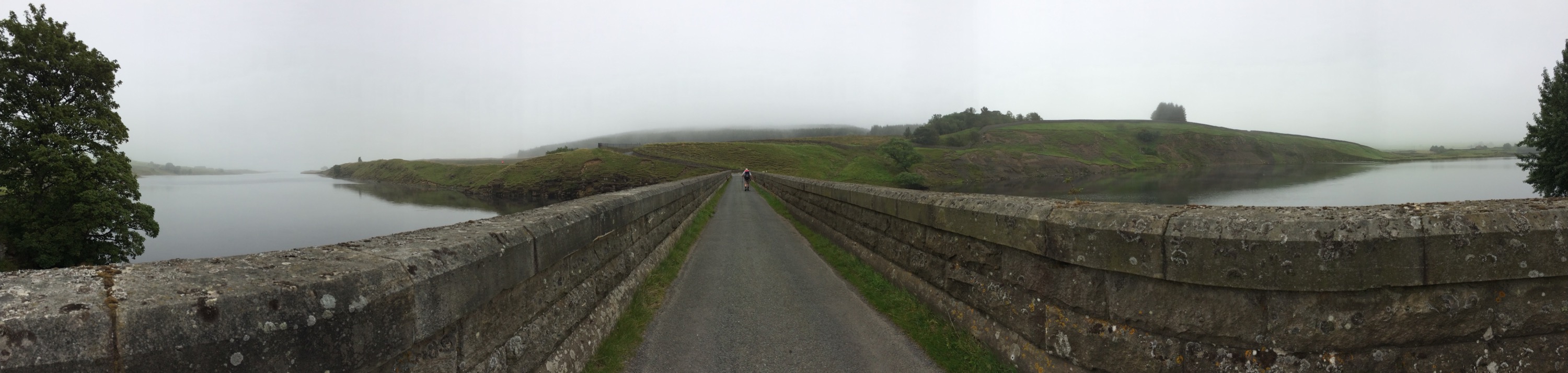
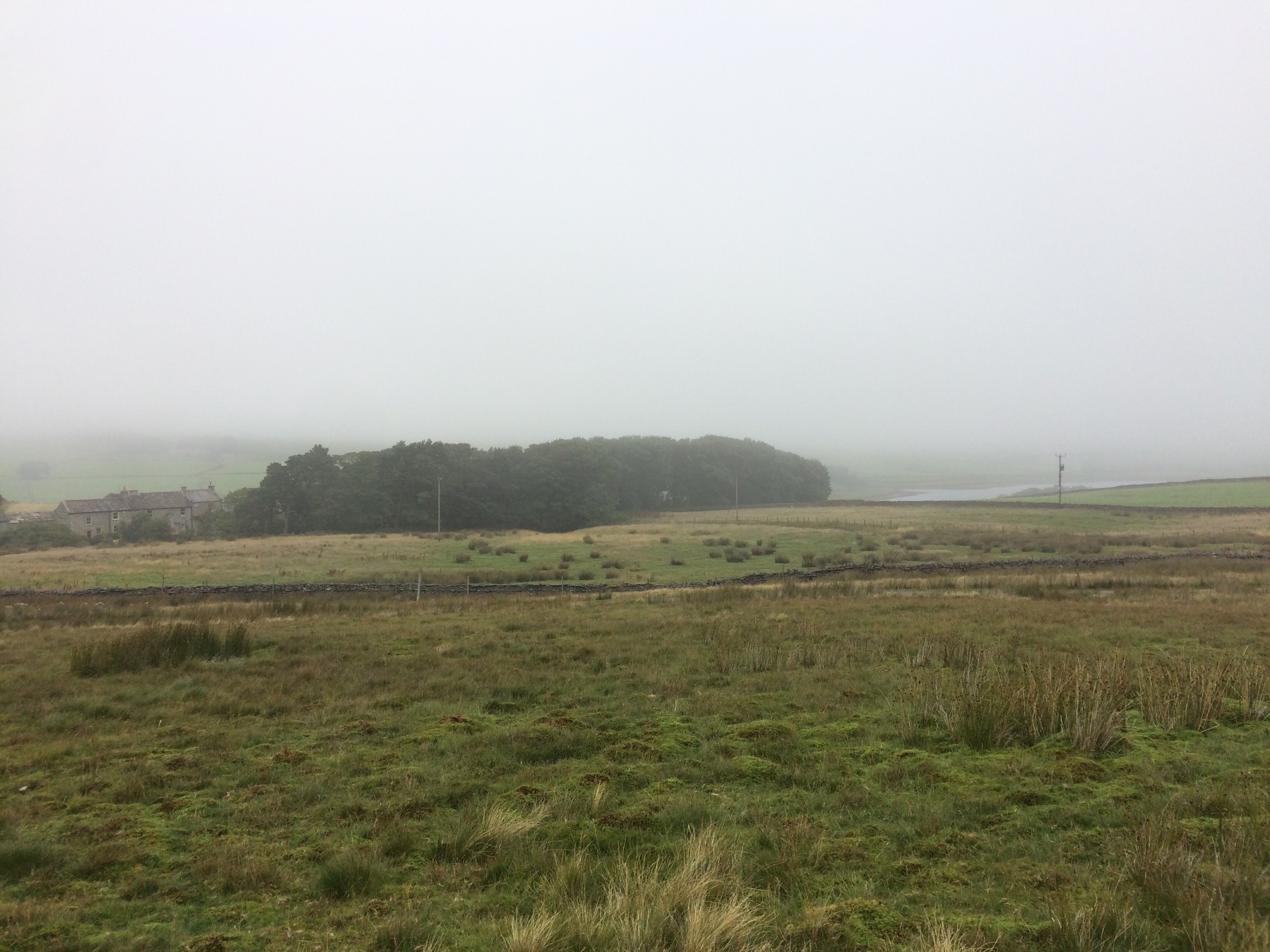
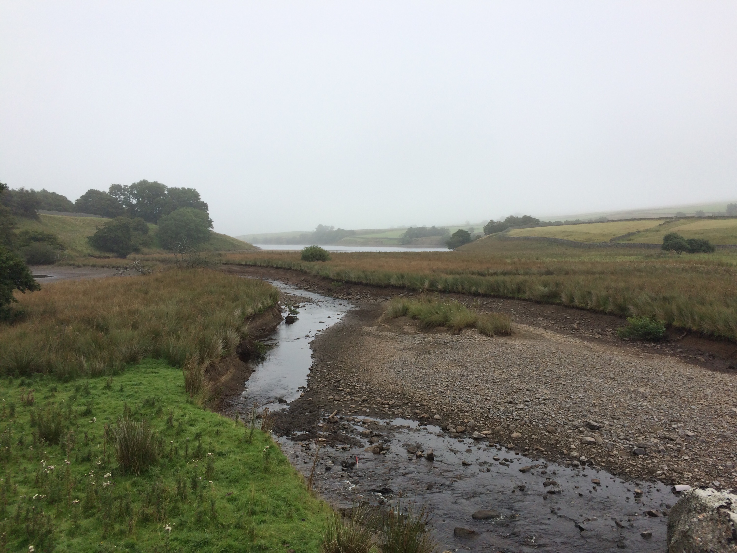
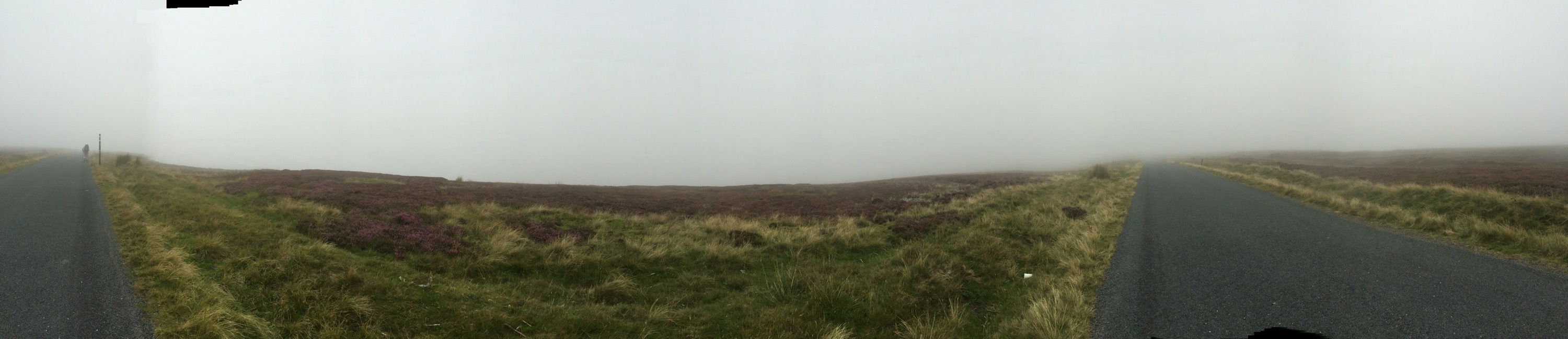
This mist is not rising.We were away at a sensible time as today was another long (though not quite as long) day coming in at a little over 17 miles. However, with no where that I can find to break this journey there are no ways to get that distance down. Today was thus the first real test of the GPS and there is no doubt that it really excelled itself. Apart from a few tens of meters right at the start we were on the path all the way to Tan Hill.
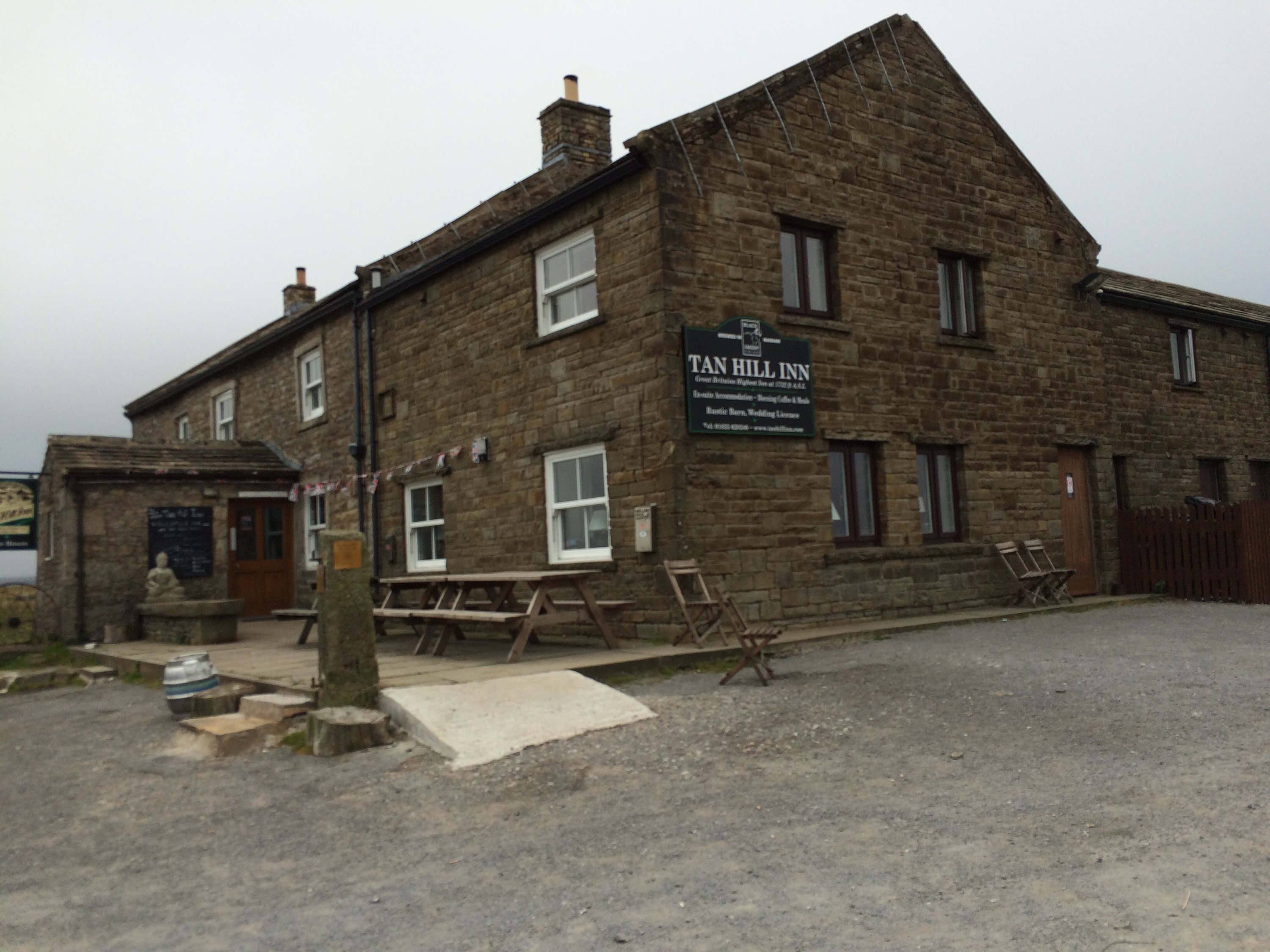
Half way there.Due to Tan Hill’s position as the highest pub in England the walk today certainly felt mainly up hill. Perhaps the only problem with using GPS in the way that we have is that it creates a very strong insentive to follow the blue line on the GPS rather than letting local circumstances override. We learned this lesson the hard way over the top of Greenhead and for future walks I have thus been trying to plot the route to use the black dotted line that indicates a path over the green dotted line (or diamonds) that indicate a right of way.
It’s not liftingAs we approached the top of our first hill we clearly came across our first set of South to Northers of the day. They were clearly quite a large group and had followed a path rather than the right of way (probably very sensible without GPS) and so they were about 100 meters away to us to our left when they passed. I wish I had a photo because they really looked like ghosts in the Mist.
It’s almost a viewWe met a youngish camper who was hoping to complete the route in 19 days who told us that the half way point was nearing. My GPS had told me it was much closer to Middleton but as he had a book I assume he is probably more likely to be right plus my count includes coming off and on at Trows farm and the spur to the top of the Cheviot (even though we did not do it!) so perhaps he is right.
Will this be excluded in the prenup?As the end of the day approached we met a couple of runners and I was at first a little concerned as surely if they had only got this far from Tan Hill today then they would never make it to Middleton. It turned out they weren’t from Tan Hill they had come from Hawes! Though they had stopped for a pint at Tan Hill and stayed long enough to be warned (and warn us) off the bog for the final approach into Tan Hill. They were planning to complete the route in 10 days. Thats a Marathon a day! astonishing really. Dad was most impressed by their T-Shirts and the fact that they “had” to eat 4000 calories a day just for the running. I imagine they will make it since they were already ahead of target.
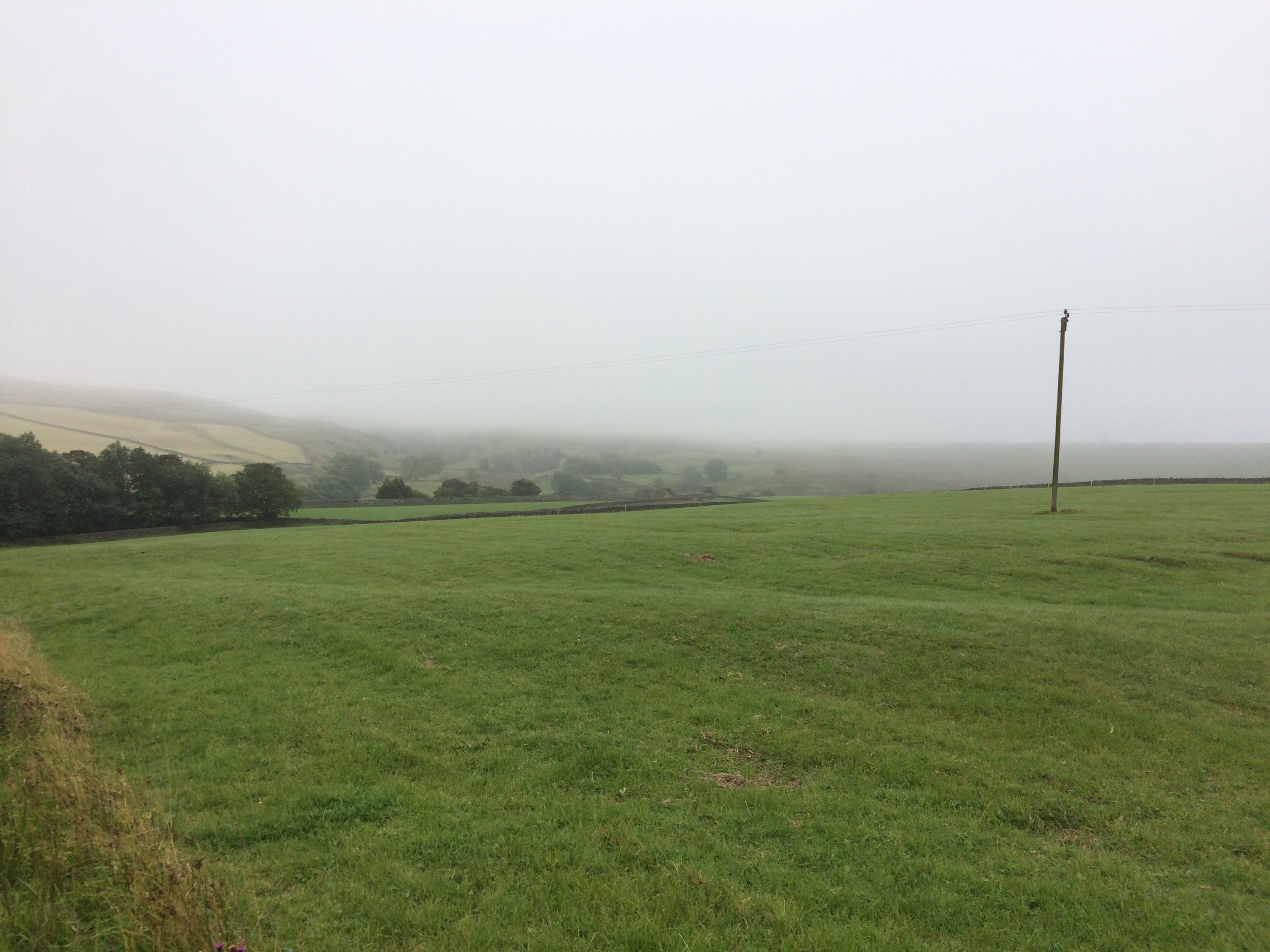
Still not quite a view,This walk crosses a lot of grouse moor and there were clearly many people out shooting today. As we approached one road my heart rose a little as I thought that what I could see was clearly a burger van. I was confused though as there was only a dirt track on my map and I there didn’t seem to be any body about. Perhaps it was abandoned? Turned out to be for those out shooting and though we didn’t ask, I imagine was thus no taking open payment.
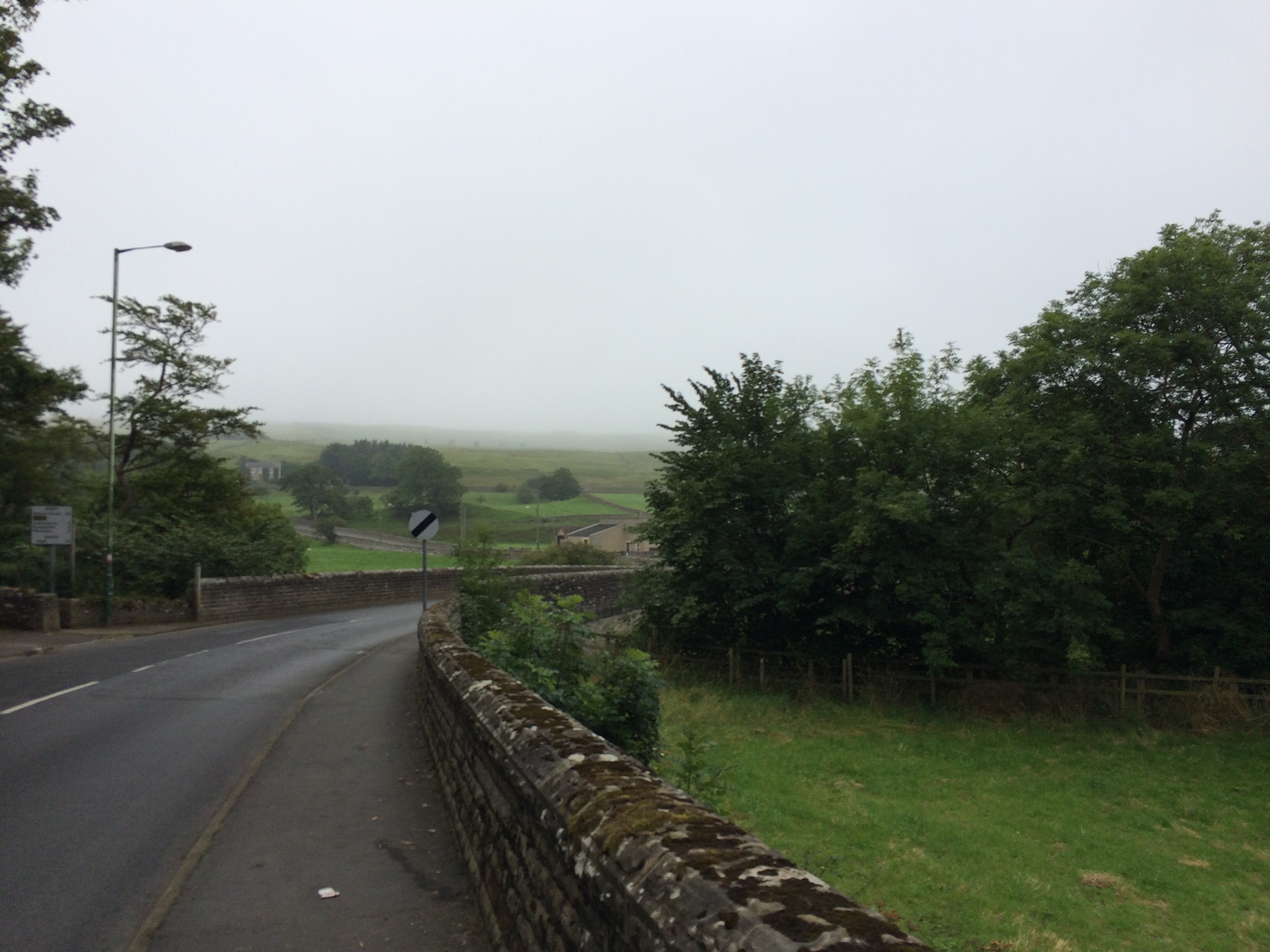
Are we in Malham?The shooting party did however seem to have a lot of dogs and one of them seemed overly aggressive. I do wonder what the legal situation is with kicking an aggressive dog in the face? Do you have to wait for it to bite you before you can strike? Who knows. The final approach involves going under a road (since we were not going on the Bowes loop) and we later recommended this a potential bivvying spot to a couple of Eastern Europeans we met only a couple of miles away from the pub.
I can see … nothingHaving missed out the bog section and taking the 500m hit of extra road we arrived at the Tan Hill. I had thought it compared very well with Youth Hostels at £25 for two people to bunk but it transpired this was only for one person. Originally I tried to book a twin room but these were all booked so I asked to book into the bunk house instead. I don’t know why the owner thought I wanted a twin room when there was only one of me but only one bunk was booked. Fortunately we were able to upgrade to a twin room and after some hearty food a peaceful nights sleep was had.
Invisible at 250mThink this walk looks hard? Why not sponsor me. I am raising money for my old scout group and donations can be made here.